Land Survey
Topographical Surveys are used to map out areas of land and identify excising features on the earth surface. These features can include trees, buildings, roads, footpaths, manholes, utility services, walls etc.
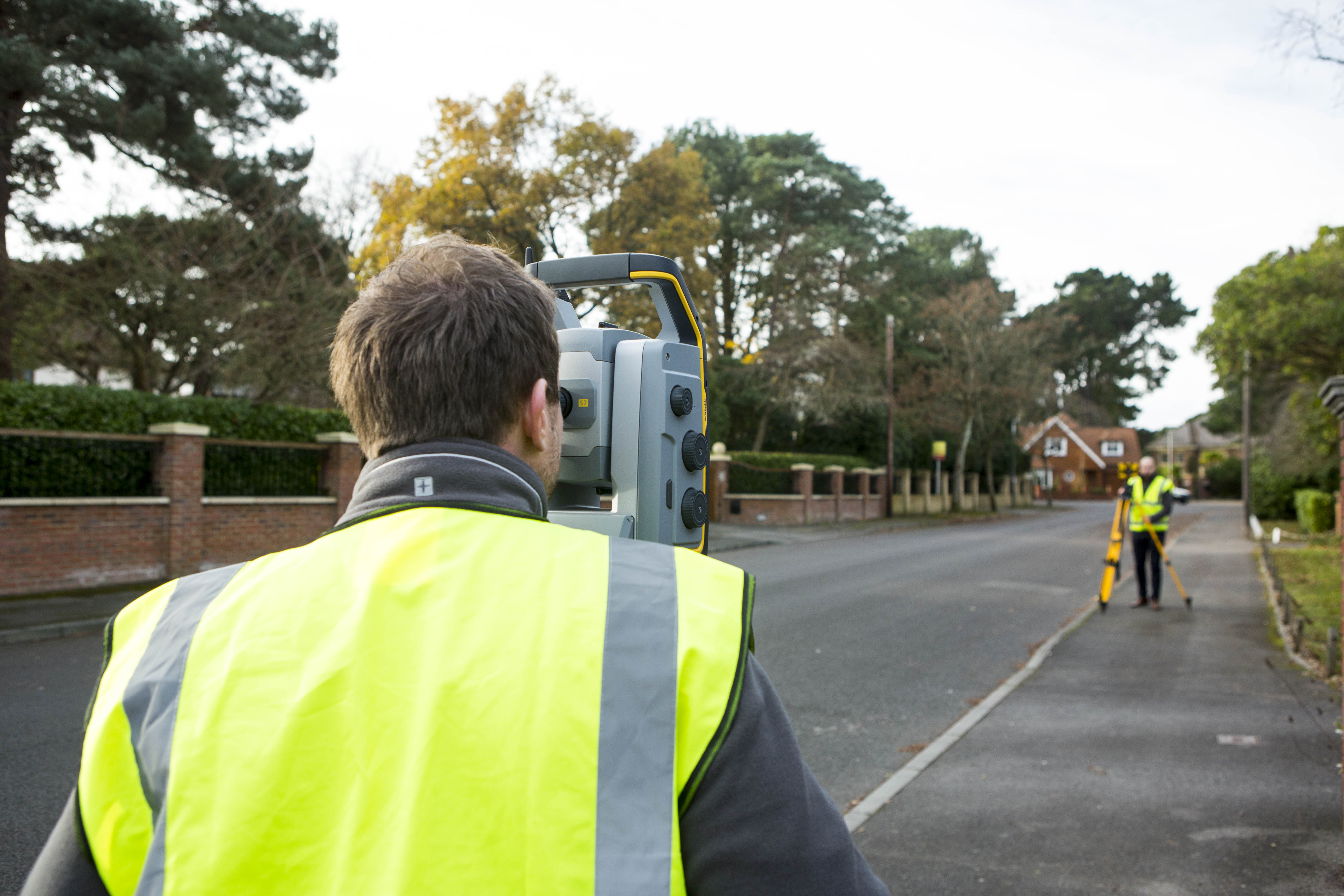
Using state of the art equipment and technology, we can accurately record all of the information needed, by way of GPS receivers, total stations and scanners. We can then take this information and convert it into plans for architects and developers to use.
These land surveys can also be used in areas such as:
- Private residential homes and commercial sites
- Contouring areas of land so we can illustrate any dramatic change in levels
- Submitting planning applications
- Establishing boundaries and producing Lease & Land Registry Plans
- Setting Out proposed buildings, as well as fence lines
- Identifying tree types and species
- Aiding in producing a Measured Building Survey with street scenes
- Monitoring any changes in buildings, e.g movement or subsidence
- Manhole detection, direction of flow and invert levels
We take pride in producing the most informative and clear plans for our customers, because it’s such an integral and crucial part of any project. Our thorough and professional approach creates the best foundation for our clients to work from, as well as reducing cost and risk to the parties involved.
Being based in Bournemouth, we’ve had the opportunity to survey many types of landscapese, as well as being involved in many local projects.